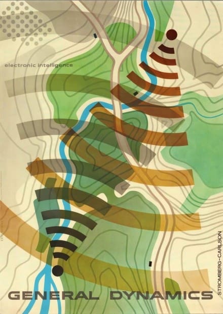
This image, “General Dynamics Electronic intelligence”, 1955 by Erik Nitsche, is obviously a topography map, or is it?

Thulsa Doom thinks it sort of resembles Rhodie Brushstroke.
What do you think?
This entry was posted
on Thursday, May 2nd, 2019 at 19:00 and is filed under Camo.
You can follow any responses to this entry through the RSS 2.0 feed.
Both comments and pings are currently closed.

Hmm. Maybe we should print maps on uniforms..? Ft. Bragg Red-Cockaded Woodpecker Special, anyone?
Nice
Hated those white painted trees!
“It`s a trap!”
Now that you mention it, the resemblance to Rhodie Brushstroke is actually rather uncanny… However, like The Hun says – think it could also be a trap
Great now LTs can’t find their uniforms
Topo map showing GSR (Ground Surveillance Radar) coverage is my guess.
Or directonal radio coverage.
tactical wifi signals