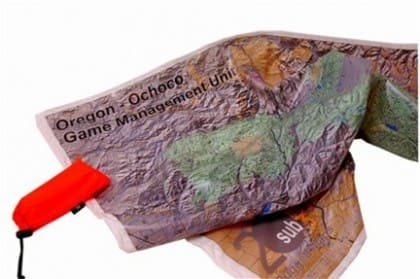
Evasion Charts are produced by the National Geospatial Intelligence Agency to assist isolated personnel in recovery to friendly control. They are the ultimate survival map, printed on waterproof Tyvek and containing handy survival tips in the margins. Evasion charts also have other practical applications. They can be used for shelter and to collect water.
Now, 20sub3 is offering stock and customized Game Management Unit topographic maps, USGS 7.5 minute quads, as well as NOAA nautical charts printed on waterproof material. Currently, not all areas in the US are represented. To order visit www.20sub3.com and see if your area is available.
Tags: 20sub3


