Finally, a rival to the PowerPoint Ranger. Meet, MDMP Ninja.
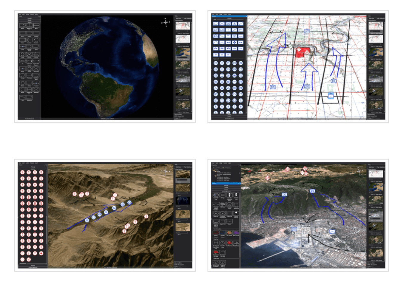
Actually, Tacteris has developed a collaborative mission planning software called Maestro.

Features:
-3D map view
-Easy-to-learn drag & drop interface
-Over 1000 military symbols (MIL-STD 2525/APP-6)
Mission/task symbology
-Control measures for a wide variety of sub-plans (ISTAR, Indirect Fire, Engineering, etc.)
-Over 100 standard map formats including GeoTIFF
-Common terrain elevation models
-Coordinate formats: MGRS, UTM, Lat/Long
-Standalone application (no servers/networks required)
-ITAR Free (Product of Canada)


