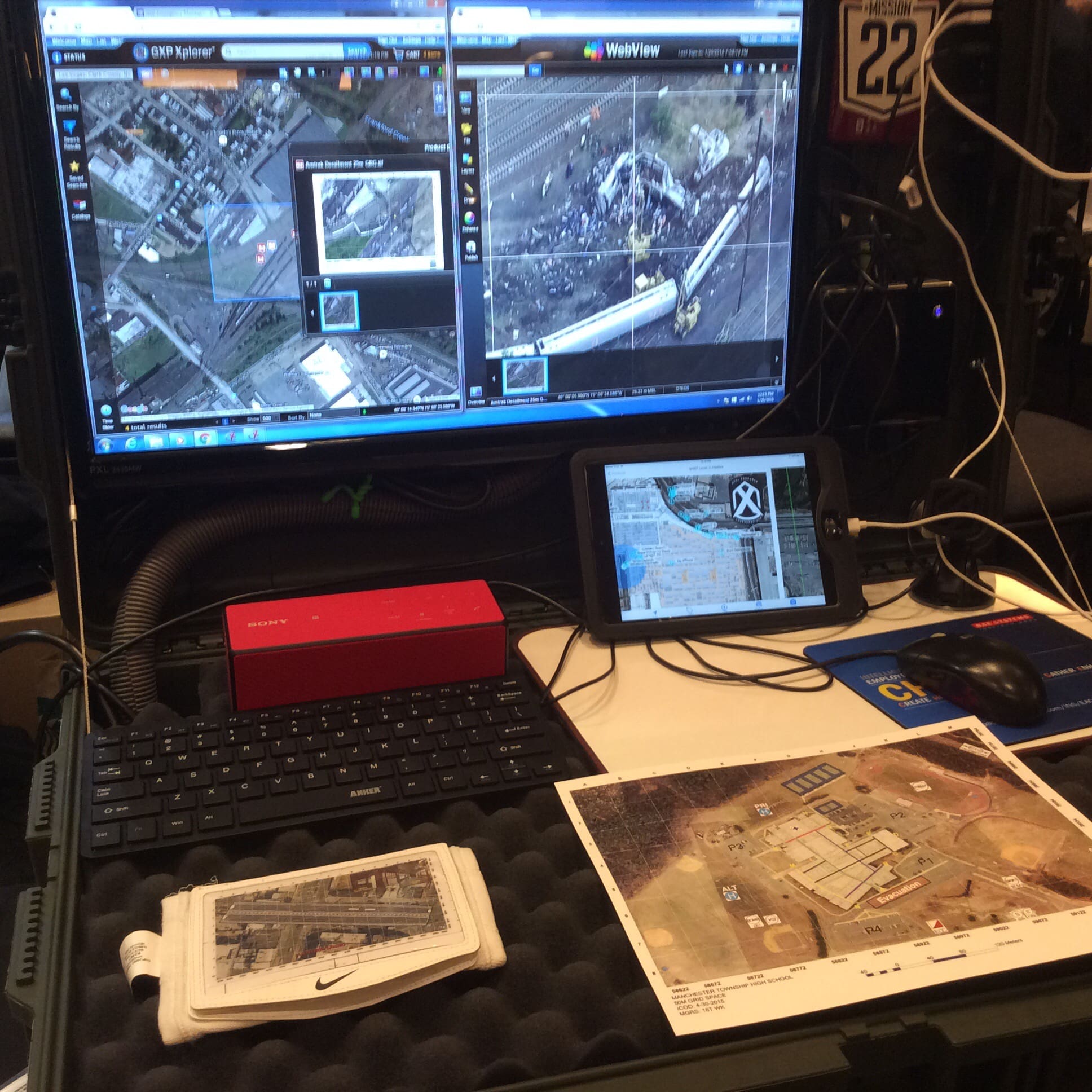
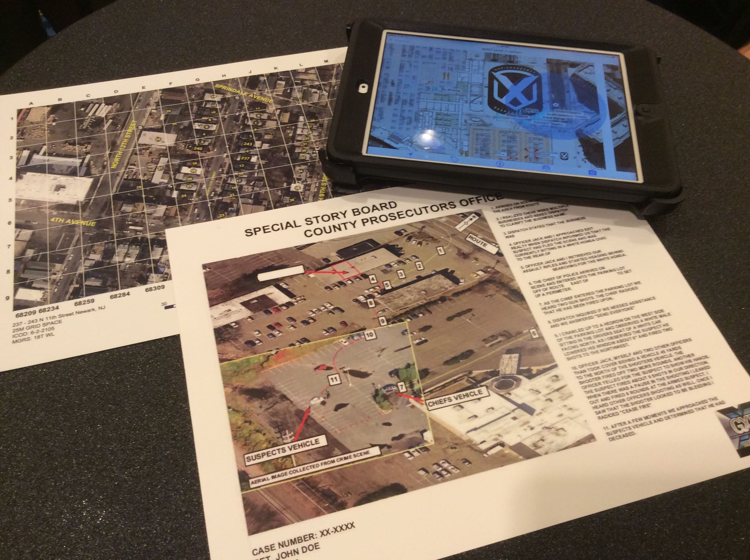
BAE Systems is working to bring the software used to produce customized Gridded Reference Graphics to the first responder and LE communities. In particular, they want to prepare products to support counter active shooter operations.
The software can also be used by investigators and prosecutors to recreate crime scenes. Data sets can come from a wide variety of sources. For example, the parking lot image in the graphic above was taken by a DSLR from a state police helo. They later mensurated the image using the software.
Now the exciting part. It will run on a mobile device. You don’t have to hand out hard copies.
This product is available through www.unifireusa.com.
Tags: BAE Systems, Unifire


Product names are: SOCET GXP, GXP Platform and GXP OnScene Hosted Solution.
Interesting. Georeferencing for LEOs. I use similar techniques in SAR, but it’s nice to see GIS working its way into other fields.
The main issue will be getting the proper authorization. If the satellite images cover private property the government is suppose to get permission from the owner, that depends on how clear the images can be. I would understand if it only covers government buildings, but to me I feel in the end this is just another way for them to pry into our lives. I can do a lot with images, but I feel it’s an encroachment on my rights.
There is loads of commercial imagery available.
Exactly, Google Maps and Bing are good examples of that already. Maybe from a military and intel agency perspective they cannot view domestic imagery, but domestic agencies have a different tenants.
GXP OnScene: http://www.geospatialexploitationproducts.com/content/gxp-onscene/
SOCET GXP: http://www.geospatialexploitationproducts.com/content/socet-gxp/
GXP Platform: http://www.geospatialexploitationproducts.com/content/gxp-platform/