
FORT KNOX, Ky. — The Army Geospatial Center has assisted in further modernizing the 412th Theater Engineer Command’s Engineer-Focused Intelligence Training, or ENFIT, geospatial intelligence procedures with two portable high speed imagery servers.
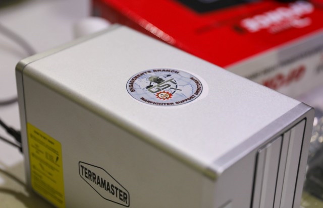
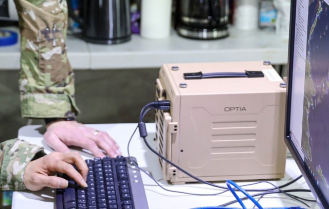
The OPTIA-produced “ammo can” and smaller-sized portable imagery server from TerraMaster provide Engineers with rapid access global map data without reliance on network speeds or bandwidth limitations. The unit connects a laptop to either device and pulls what they need directly from it, cutting down research and product development by as much as 50 percent.
Jorge Morales, Team Lead Geographer with the AGC Warfighter Support Directorate, stated that the AGC integrated both portable systems into the ENFIT program as of the third quarter of 2021, so the AGC anticipated units to send in results of their use shortly.
“The ‘ammo can’ has about 25 terabytes in storage,” he said. “That fits all of the geospatial maps with space to spare for more.”
Morales explained that the maps already on the devices varied depending on what engineers needed, but each were as detailed down to as much as half a meter. He said they provided a “hybrid solution” with both three dimensional and simulation capabilities.
Armed with comprehensive imagery of the entire world, regardless of depth or height, Army Engineers can precisely direct and reinforce U.S. military efforts for assured mission success. Further, at an estimated five pounds each, the servers prove an easy, more than acceptable burden for any unit.
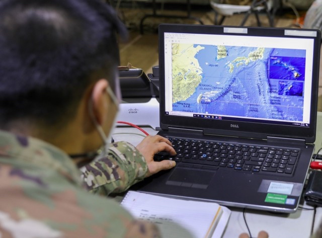
ENFIT is a specialized course where Soldiers use updated geospatial analytic tools with rapid terrain analysis — geospatial data being facts about occurrences, objects and events that are associated with a particular location on Earth’s surface. These give engineer commanders proper foundational, geographical knowledge to make the right decisions as to where operations should take place.
Maj. Gen. Stephen Strand, 412th TEC Commander, emphasized that ENFIT provides new methods to improve top-tier planning for the Army Reserve.
“The ENFIT program significantly enhances the geospatial engineering capabilities of the [412th Theater Engineer Command],” said Strand. “It’s a great program to develop the bench needed to maintain proficiency for years to come.”
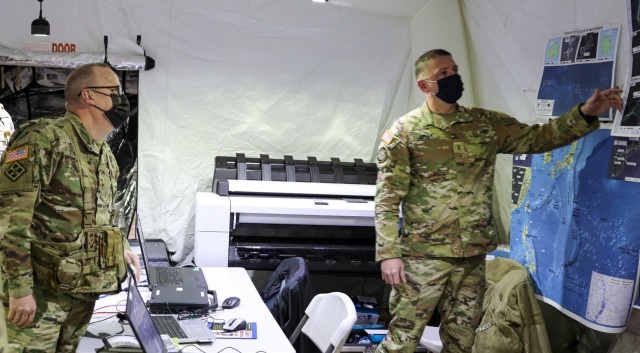
Col. Steven Hayden, 412th Theater Engineer Command Chief of Staff, concurred on Strand’s assessment, adding that ENFIT allows Soldiers to use geospatial analytic tools to provide commanders with terrain analysis that shape the battlefield and drive decision.
ENFIT continues in Alexandria, Virginia throughout 2022 with more classes that include these and more modernizing devices.
By MAJ William Allred and SFC Tony Foster, 412th Theater Engineer Command