
Like the title says, GEONYX is Safran Optics 1’s solution for Inertial Navigation Technology for GNSS-denied Environments.
Areas with inherent signal interference such as subterranean, heavy urban terrain, hardened concrete (indoors) have been common challenges for those relying on GNSS. But we’re moving into new territory where navigation systems are subjected to enemy jamming, spoofing, or even meaconing.
In this back to the future world, where GNSS signals are unreliable, we are rediscovering Inertial Navigation Systems. These consist of an Inertial Measurement Unit (IMU) where accelerometers pair with gyros such as a Ring Laser Gyro (RLG), Fiber Optic Gyro (FOG) or the Hemispherical Resonating Gyro or HRG Crystal by Safran.
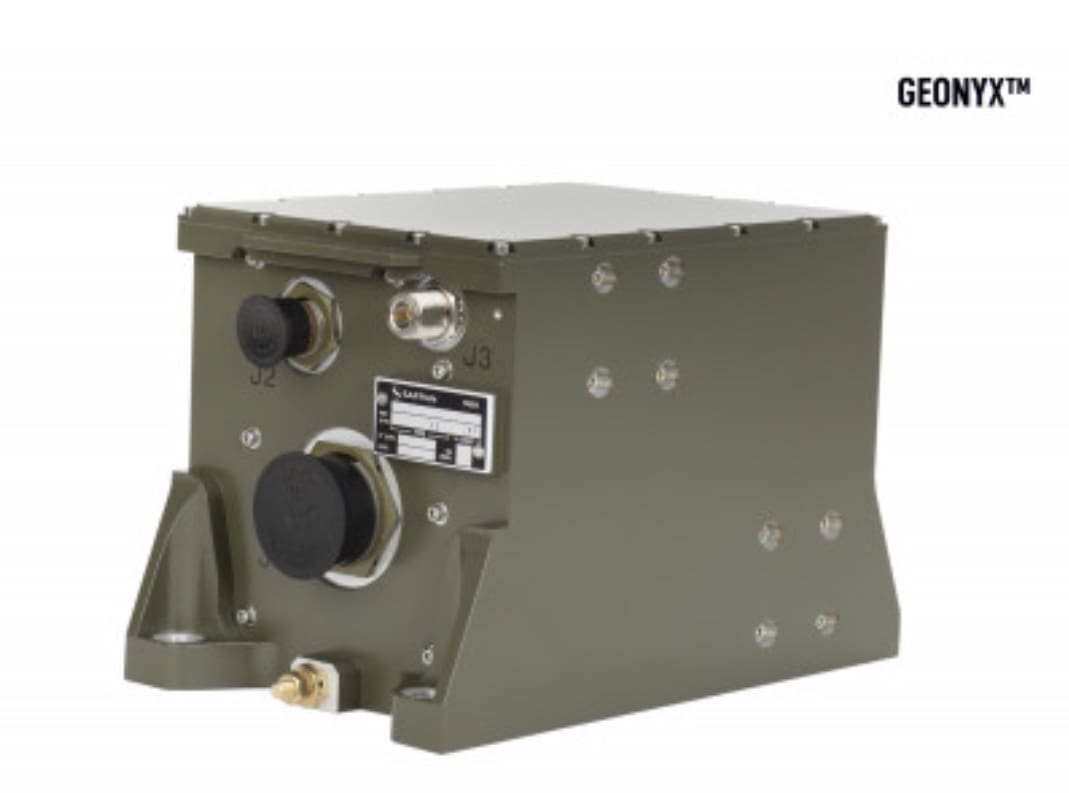
Their GEONYX system uses three HRG Crystals for X, Y and Z axis measurements to calculate precise locations. Unlike legacy systems intended for aircraft and naval platforms, GEONYX is designed to mount on vehicles, turrets and artillery pieces.
To learn more, visit www.optics1.com.
*GNSS is a compilation of GPS (US), Galileo (EU), GLONASS (Russia), BeiDou (China) and regional ones like IRNSS (India) and QZSS (Japan), whom all rely on the transmission of signals via satellite. Each system has their own launched satellites to which they communicate for terrestrial navigation.
Very good idea, we need new-fashioned and old-fashioned backups for GPS denial, or the day when EMP turns the airwaves into static.
(BTW, Heinlein described a infantry-carried Inertial Navigation device being used to navigate in the featureless, cloudy swamps of Venus, as imagined in his 1963 science fiction novel “Podkayne of Mars”.)
I wonder if there could be something like a INS Google maps for smart phones.