Schofield Barracks, Hawaii (March 30, 2026) – Two U.S. Army divisions, dozens of industry partners, and multiple Army program offices have joined forces to help expedite the Army’s command and control and networking transformation.
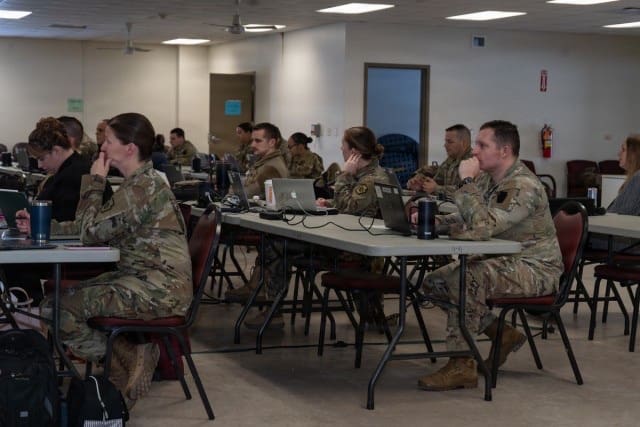
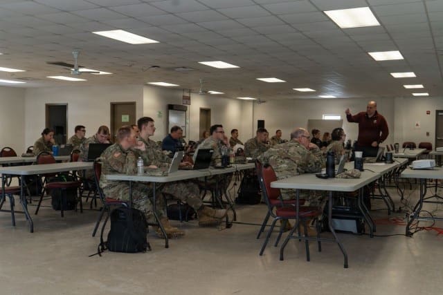
Both divisions are leveraging a series of operational training events to experiment with Next Generation Command and Control (NGC2) prototypes: The 4th Infantry Division (4th ID), conducting Ivy Stings and the 25th Infantry Division (25th ID), conducting Lightning Surges.
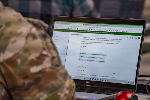
The NGC2 ecosystem delivers information across all warfighting functions to enhance commanders’ decision-making and speed – with artificial intelligence (AI) playing a key role to quickly process and analyze huge volumes of data to the battlefield edge.
Just as NGC2 is eliminating stovepiped warfighting systems, the two divisions, their industry partners, evaluators, and the Army program offices are joining forces to share lessons-learned, reuse applications, and converge capabilities to help the Army scale the NGC2 framework.
Army leaders say the collaboration is paying off.
“The ingenuity and the creativity of the Soldiers, combined with continuous iteration with industry, has been instrumental. A lot of times, the industry partners are going home and fixing the code in almost real time,” said Maj. Gen. Patrick Ellis, commanding general of the 4th Infantry Division and Fort Carson, Colorado. “We’re benefiting both of our divisions as we’re getting to do that continuously over time.”
The 4th ID recently completed Ivy Sting 5 – where the division employed NGC2 across 35 mission threads – while the 25th ID recently executed Lightning Surge 2, which focused on the digital kill chain and validated their prototype’s maturity to set the stage for integrating NGC2 into larger, joint and multinational exercises across the Pacific.
“We’re absolutely building on the lessons from the 4th ID, but our focus is applying those lessons to the unique challenges of the Indo-Pacific. By having two divisions prototyping in different operational environments, we are de-risking this effort for the entire Army and providing a more robust, validated set of capabilities for the future fight,” said Maj. Gen. James B. Bartholomees, commanding general of the 25th ID and U.S. Army Hawaii.
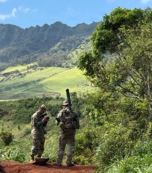
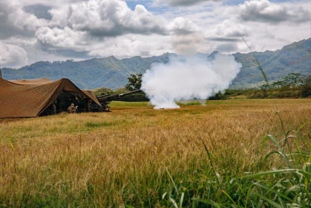
With its “See, Sense, Strike” concept at the forefront, the 25th ID recently completed its second in the series of Lightning Surge exercises, which featured the Division Artillery (DIVARTY) executing fully digital calls for fire missions – from sensor to shooter – using an industry prototyped NGC2 data platform and AI mission system that streamlined targeting data received from different sensors (See and Sense).
The Army’s new app-based, data-centric fires command and control system, the Artillery Execution Suite (AXS), which will eventually replace the Advanced Field Artillery Tactical Data System (AFATDS), ingested targeting information from the data layer and enabled the fires direction center (FDC) to quickly calculate all firing computations before sending for execution down the “last mile” to the guns (Strike).
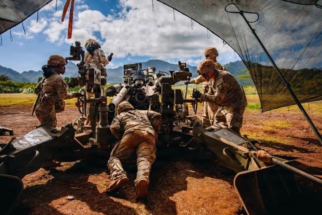
“The new system is sensor agnostic [where it pulls information] into that data layer, simultaneously hitting the appropriate device or system at echelon, up and down the chain of command, where decision makers are able to determine the appropriate delivery asset down to our shooters,” said Col. Daniel Von Benkin, DIVARTY commander.
As the DIVARTY Operations Sergeant Major, SGM Kenneth Alexander, explained, the new process is “taking out the element of human error. The data goes machine to machine so we can focus on making decisions instead of just manually entering data.”
While the 4th ID successfully demonstrated using AXS within NGC2 to conduct fires missions during their earlier Ivy Sting exercises, the 25th ID leveraged Lightning Surge 2 to also experiment with compatibility through the data layer with AFATDS, ensuring it remains aligned with joint partners in its shared Pacific operational environment.
“Our mission at the 25th Infantry Division is to forge the fight to achieve decision dominance in the vast operational environment of the Pacific,” Bartholomees said. “These [digital fires support] capabilities are preparing us now as we deploy our force into the first island chain as part of Operation Pathway,” referencing a series of annual combat “rehearsals” in the Philippines with that nation’s Army and other multi-national partners.
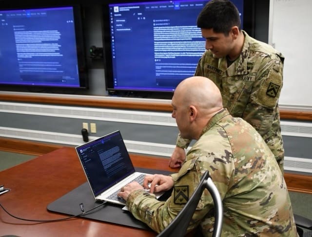
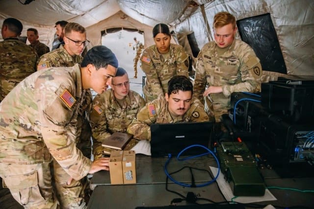
In addition to the technical progress coming out of the prototype efforts, commanders and staff are sharing lessons learned to refine operational warfighting processes in line with the NGC2 concept.
Lt. Col. Adam Brinkman, 25th ID G6 and 125th Division Signal Battalion commander, said he is closely collaborating with the 4th ID’s G6 team to learn how they are applying AI tools to shorten the time needed to work through their higher priority target list.
“They have done really well in their war room to reduce what can be a very lengthy process,” he said. “We will add this knowledge to our roadmap, which will allow us to analyze large volumes of data to inform human decisions at machine speed.”
While the divisions are synchronized in scope, NGC2’s flexible framework adapts to the disparate mission sets across the force.
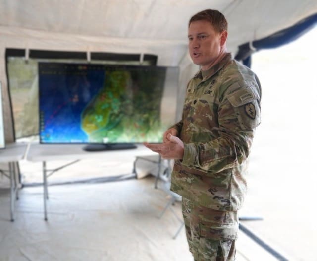
“The Army acknowledges that one size does not fit all,” said Brig. Gen. Shane Taylor, Capability Program Executive for Command and Control Information Network (C2IN), noting that NGC2’s data layer – the way data is stored and managed across all the warfighting functions – will be the most common characteristic across divisions.
“You’ll probably see the most diversity within the transport layer, which will take into account the tyranny of distance you have here in USARPAC [U.S. Army Pacific]. We want to give commanders the ability to tailor the kit based off their individual needs,” he said.
For both divisions, accelerating the fires digital kill chain is paramount to making the fires process faster, more precise and more lethal.
“Even with existing fires systems, the process still included manual steps that left room for human error,” Von Benken said. “In Lightning Surge 2, we focused on bridging those final gaps to create a true, end-to-end digital workflow, keeping the human in the loop to make the critical decision to call for fires.”
By Kathryn Bailey, CPE C2IN Public Communications Directorate
—-
CPE C2IN is rapidly delivering dominant C2 and network solutions through a dedicated partnership with warfighters and industry. We achieve this by harnessing the speed of commercial innovation and pioneering new capabilities, providing a persistent and decisive information advantage. CPE C2IN equips commanders to decide and act faster than any adversary, ensuring victory in a complex, ever-evolving contested environment.