FORT RUCKER, Ala. – The Army conducted its largest unmanned aerial system flight demonstrations with industry and first UAS lethal live fire experimentation range for more than 400 stakeholders during the annual UAS and Launched Effects Summit.
“This was the single largest transformation venue solely focused on UAS across all of DOD,” said Col. Nicholas D. Ryan, director, capability manager for UAS, Fort Rucker.
Senior leaders, Soldiers and industry representatives discussed the future of UAS, policy changes, the deployment of drones, emerging capabilities and the challenges posed by adversaries who are developing and advancing their own unmanned systems.
Partnerships
UAS stakeholders who collaborated throughout the event included UAS operators from Army divisions, training installations and combatant commands; UAS experts from joint and interagency services including the Marines, Air Force, Navy, Special Forces, the Department of Homeland Security, police agencies and allied partners from Japan, South Korea, Australia, Britain, Germany and Israel; more than 275 industry partners; and policy makers from the joint staff at the Pentagon.
“They all synchronized all UAS transformation efforts, shared best practices and [tactics, techniques and procedures], and rapidly proliferated UAS capability across the Army,” said Ryan. He said they took lessons learned from current conflicts, where unmanned systems are being deployed and reshaping battlefield tactics, and discussed the future of the Army’s UAS program.
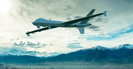
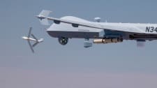
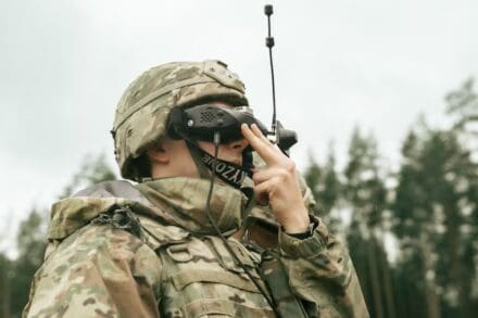
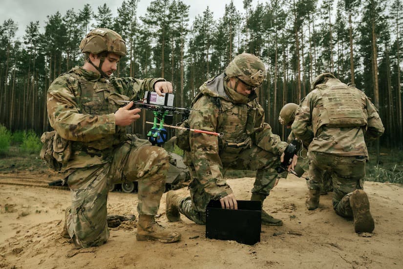
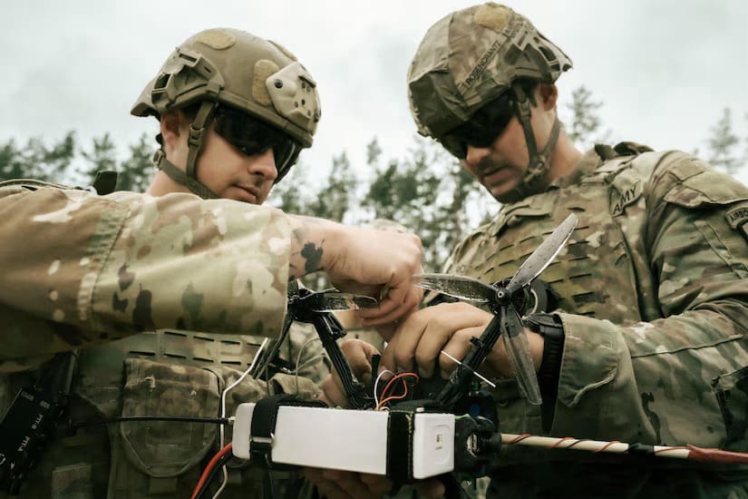
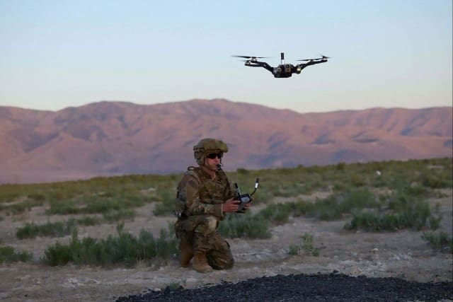
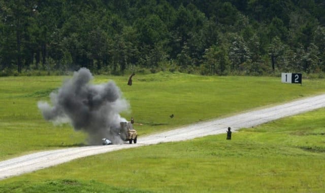
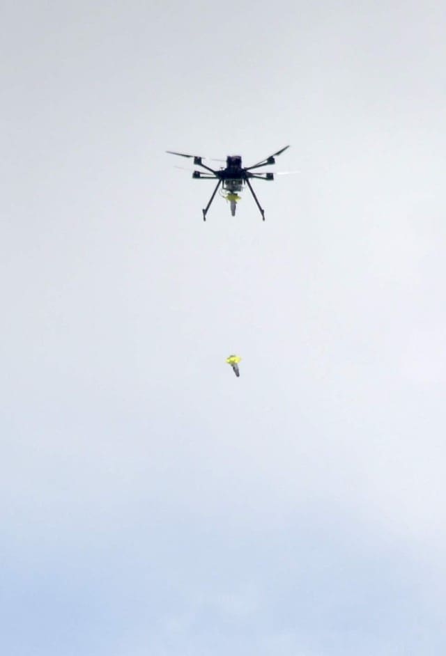
During the summit, system developers and industry partners exhibited both fielded and in-development UAS systems on Fort Rucker’s ranges. Soldiers and industry experts conducted a live demonstration of lethal UAS, showing drones armed with bomb and grenade dropping systems, 12-gauge shotguns, 40mm grenade launchers, and various explosive payloads. First-person-view drones were demonstrated destroying moving ground vehicles and intercepting other drones mid-flight.
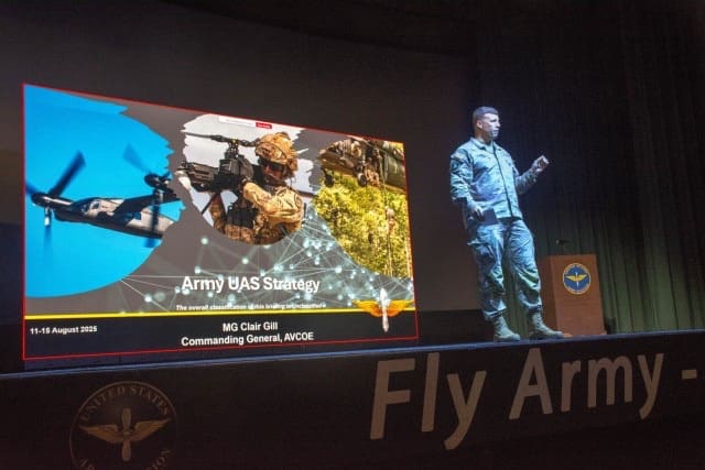
“This was the opportunity to see the art of the possible… and the best of industry, and to take that across the street and put it in the hands of the Soldiers was great,” said Maj. Gen. Clair Gill, commanding general, Army Aviation Center of Excellence and Fort Rucker.
Transformation
Ryan said events like the summit allows the Army to achieve the goals of the Army Transformation Initiative, the White House’s Executive Order for unleashing American drone dominance and the Defense Secretary’s guidance for unleashing U.S. military drone dominance.
“The Army’s UAS mission is to rapidly integrate UAS technology and accelerate UAS transformation efforts across the Army,” said Ryan. “This summit is the largest Army venue solely focused on accelerating the Army’s UAS transformation efforts. The past two years of executing the Army UAS and LE summit have driven significant change across national, DOD and Army transformation and integration initiatives.”
Future
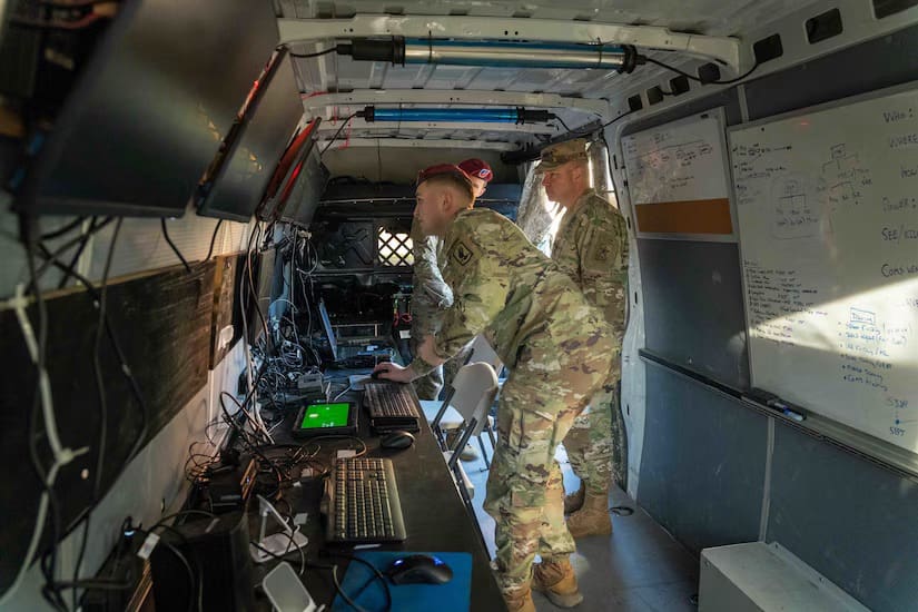
Looking ahead, commanders at brigade level and below will soon have access to a secure online storefront to purchase drones for experimentation, training, and operational use. The intent is to empower units to develop their own tactics and discover novel applications for unmanned systems in support of their missions.
“We want to give the commanders a lot of risk authority, let the commanders fly these systems in their area,” said Ryan.
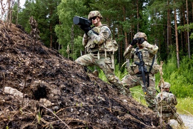
Fort Rucker is conducting the first iteration of the Army’s new lethal operator course, which trains Soldiers in the use of armed small UAS.
“Almost every division and [Army National Guard and Special Operations Command] has folks here at our course, and they are going to leave here as lethal operators that can go back out and train their units,” said Gill.
The course is being developed with the objective of becoming like other Army specialty programs such as Air Assault School, with the goal of standardizing instruction and enabling expansion to other installations.
“The idea is that we can export it,” said Gill. “So now we’re running Air Assault School; we’ve got a standardized block of instruction, here’s what you need, here’s the equipment you have to buy, here’s the ranges, capabilities, and limitations you’re going to have, here’s the pre-requisites to bring people in, and what you’re going to train them on. So, you’ll see that lethal operator course probably at the Fires Center, the Maneuver Center, and probably anywhere else (the Army) thinks it’s appropriate.”
Ryan said Soldiers from every career field across the Army are innovating and adopting new UAS technology and TTP’s at every echelon down to the squad level to maintain a tactical advantage over any adversary.
As UAS technology advances, these Soldiers are learning to operate and integrate new UAS air vehicles and payloads faster than before,” said Ryan. “Taking lessons from Ukraine, these Soldiers are also innovating with 3D printing and additive manufacturing to develop, build, and fly their own Soldier-built UAS capabilities. The Army is quickly implementing new policies and training programs to accelerate and resource this front-line innovation and integration.”
Fort Rucker
Fort Rucker is uniquely positioned to support UAS advancement because it combines experienced personnel, available airspace and the necessary approvals to conduct complex and realistic training and evaluation, said Ryan.
He envisions the post as a location where industry can bring new capabilities to put directly in Soldiers’ hands for operational feedback.
“We have the experts here, we have (U.S. Army Combat Capabilities Development Command) here, and now we have the range and approvals to do it,” said Ryan. “So, our intent, working with industry, is: use us, come to (Fort Rucker) as a location and a site if you want to test out a new drone or a new capability, or something lethal. Come to us, we’ve got the airspace, we’ve got the range and we’ve got the people here.”
Col. Joshua Ruisanchez, director, Army aviation capabilities and integration directorate, urged continued collaboration between the Army and industry.
Over the next six months, the focus will be on three critical areas: artificial intelligence integration, the development of a universal drone controller, and the continued refinement of the drones themselves, said Ruisanchez.
“The Maneuver Center will ensure every Soldier touches the drone, and they get the training that’s needed to be able to operate them,” he said. “We see this almost like a basic training task like chemical gear. How do you protect yourself against a drone, and how do you employ the drone?”
Gill said AVCOE will serve as the Army’s central proponent for UAS, ensuring a unified approach to fielding, training, and operational integration.
“It needs to be centralized, one proponent to bring it all in and push it all out,’” he said.
Ryan said that though AVCOE and Rucker will be the central proponent for the Army’s UAS program, the Army’s close partnership with all its stakeholders is essential.
“Operational, joint and allied teammates, academia, capability managers, material developers, policy makers, industry partners, they all drive the acceleration and implementation of the Army’s transformation efforts,” said Ryan.
By Shannon Collins and and John Hamilton, Army News Service