Persistent aerial surveillance delivered by a tethered drone launched from an unmanned surface vessel, for coastal security, port protection, and wide-area maritime monitoring.
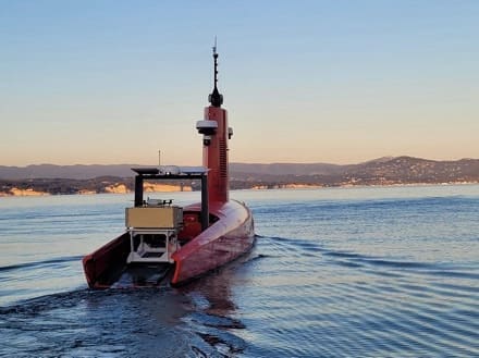
Elistair and Exail have partnered to integrate the Khronos automated tethered DroneBox on Exail’s DriX unmanned surface vessel (USV), giving maritime operators a persistent “eye in the sky” launched directly from the vessel. The combination extends surveillance well beyond the range of the platform’s surface sensors, while keeping personnel safe on shore.
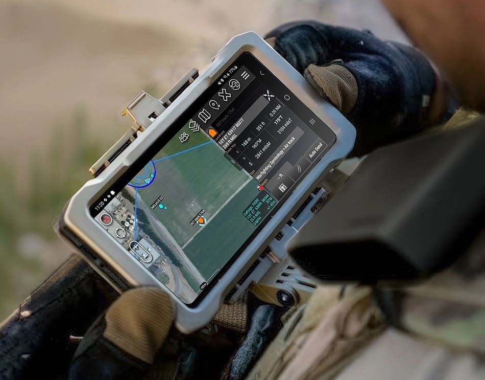
Launched directly from the deck of the DriX, Khronos provides persistent, continuous aerial surveillance. Its autonomous deployment and “follow-me” capability keep the drone stationed above the vessel while under way. Powered through its tether, Khronos flies for up to 24 hours at a height of 60 m. It streams live, encrypted video over a secure data link, delivering real-time imagery even in contested, GNSS-denied environments.
By adding a tethered drone to a long-endurance autonomous vessel, the pairing pushes the surveillance horizon far beyond the reach of surface radar and cameras. Both the vessel and the drone can be operated remotely from shore. The configuration is suited to coastal surveillance, port and critical-infrastructure protection, counter-trafficking operations, and search and rescue.
“Integrating a tethered drone on an autonomous vessel marks a major step forward for maritime surveillance,” said Guilhem de Marliave, CEO of Elistair. “Surface sensors stop at the horizon; flown from the DriX, Khronos lifts that limit with a persistent, mobile view that stays airborne for hours. For operators, that means wider coverage and earlier detection, with no crew at sea.”
DriX was designed as an open platform, able to integrate new payloads as operational needs evolve,” said Stéphane Vannuffelen, Maritime Autonomy Solution Technical Director at Exail. “The integration of Khronos adds a persistent aerial perspective to the vessel’s existing surveillance capabilities, significantly extending the monitored area.