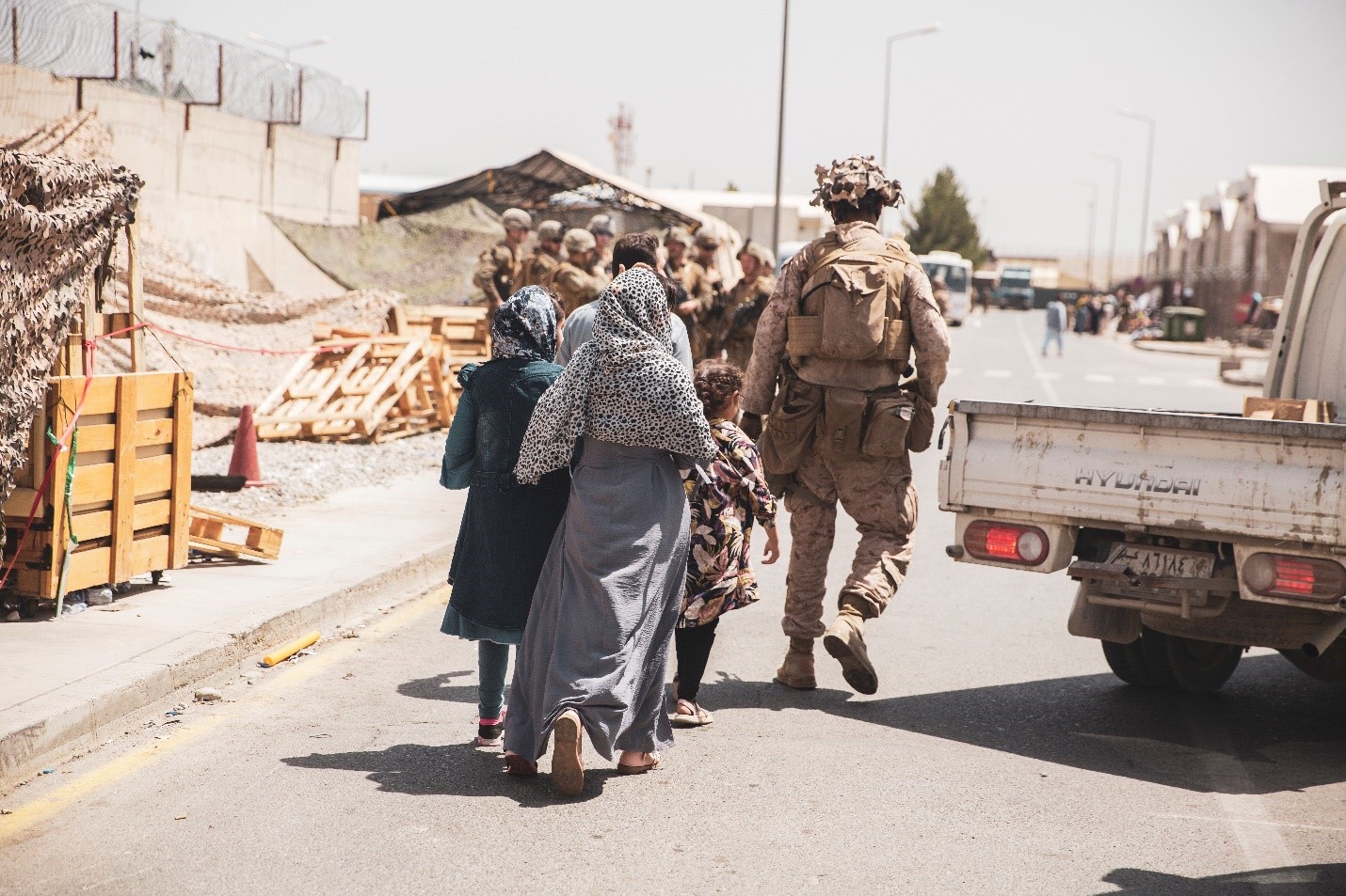
ABERDEEN PROVING GROUND, Md. — The Army has officially started development of a new software that will automate the fires targeting process, giving commanders rapid data, situational awareness, and visualization to successfully deliver fires.
The software, known as Joint Targeting Integrated Command and Coordination Suite, or JTIC2S, will replace the Joint Automated Deep Operations Coordination System, JADOCS, and provide fires targeting capability and a joint fires targeting common operational pictures across forces.
Now in the engineering and manufacturing development phase, the Army will develop the software’s first iteration known as the minimum viable product, conduct testing in the field, incorporate Soldier feedback and then look to industry to further develop the software’s capabilities.
“Entering this phase of development is an exceptional achievement and a critical step to consolidating safety-critical fires software onto a single baseline,” said Col. Matthew Paul, project manager for Mission Command at Program Executive Office, Command, Control, Communications – Tactical, known as PEO C3T. “While JADOCS has served the Army well for more than 30 years, moving to JTIC2S will allow us to keep pace with the speed of technology, evolving Army priorities, and help us deliver a product that is effective for the warfighter.”
PEO C3T has determined the JTIC2S and the Advanced Field Artillery Tactical Data System Artillery Execution Suite and collective capabilities/development effort is considered a Fires Safety Critical Baseline. This capability will leverage a common back-end architecture, an open application programming interface and a common/intuitive role-based user interface shared by all fire support command and control and mission command systems using Tactical Assault Kit software.
As a software-only program, JTIC2S will link sensors to shooters without the need for specific hardware. It will provide rapid target engagement, near real-time access to friendly and enemy unit data, and be fully interoperable with Army, joint, intelligence community and coalition forces systems. Military service branches across echelons will utilize the functions within JTIC2S to support combined joint all-domain command and control and joint all-domain operations against a near-peer adversary.
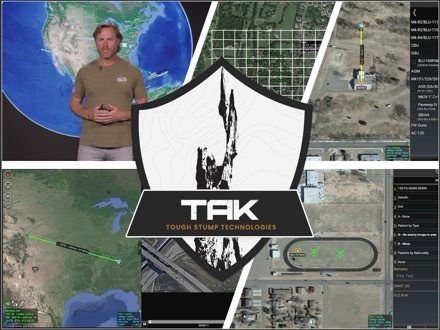
Data, once tracked through Excel and PowerPoint files, will now be automated and displayed through 4D visualization to help commanders see themselves in time and space. The new system will utilize Tactical Assault Kit, a situational awareness web application that provides quick access to a common operating picture. JTIC2S will also be able to process varying data formats and leverage artificial intelligence and machine learning to aid commanders and forces in the decision-making process.
“Modernizing this software means the Army will be agile and responsive to the needs of the operational force,” said Lt. Col. Timothy Godwin, product manager for PEO C3T Fire Support Command and Control. “It will also be backwards compatible with JADOCS so that joint forces that continue to use JADOCS will still be able to communicate effectively. We know that theaters fight differently. Developing JTIC2S as a software only program will help us integrate into any network, and as technology enhances, we can make changes without a lot of time and money.”
The Army plans to use a multi-vendor approach for contracting and will be seeking various industry partners later in the fiscal year to help build this iterative software in addition to Advanced Field Artillery Tactical Data System Artillery Execution Suite and the Fires Safety Critical Baseline.
By Danielle Kress, PEO C3T Public Affairs