Mountain View, CA (March 14, 2025) –The Defense Innovation Unit (DIU) announced that four companies were awarded contracts for Artemis, a project to operationally evaluate long range, one way platforms. DIU is partnering with the Department of Defense Office of the Under Secretary of Defense for Acquisition & Sustainment (A&S) to execute a FY24 Budget line item directing operational testing of platforms in relevant Electronic Warfare (EW) and Global Navigation Satellite System (GNSS) denied environments.
Congressional direction for this effort had a goal to provide loitering munitions capable of operation in an electromagnetic contested environment, at a price point that allows for mass deployment.
“We are excited about the non-traditional companies who are providing low-cost, adaptable, long-range, UAS platforms with the potential to maximize operational flexibility for the Joint force,” said Trent Emeneker, DIU program manager for the effort and contractor. “This was the intent of Congress’ direction to rethink how to get capabilities to the warfighter at speed and scale that can deliver much faster than traditional Programs of Record.”
The four companies on contract include Swan, a U.S. software company partnered with a Ukrainian unmanned aerial systems (UAS) firm; Dragoon, a U.S.-based firm; Aerovironment, a U.S. based firm; and Auterion, a U.S. software company partnered with another Ukrainian UAS firm.
In just over four4 months, DIU and A&S developed a problem statement, launched a solicitation, evaluated 165 proposals, conducted flight demonstrations to verify stated capabilities of down-selected companies and entered into contract negotiations.
In order to have a successful prototype by the end of FY 2025, the next step is meeting an aggressive testing and integration schedule to complete prototyping and demonstrate success by the end of May 2025. Project Artemis goals are directly tied to observations of current real world combat conditions as well as feedback from end users across the DoD on what capabilities may be needed in this space to face near peer threat capabilities around the world. With Artemis, DIU and A&S are moving rapidly to provide an option for Services and Combatant Commands to choose from, delivered years in advance of current Program of Record timeframes.
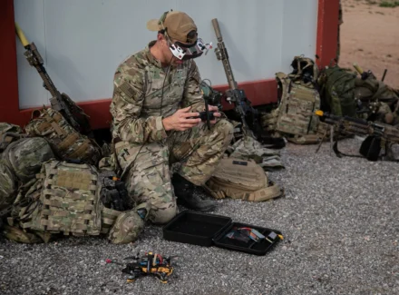
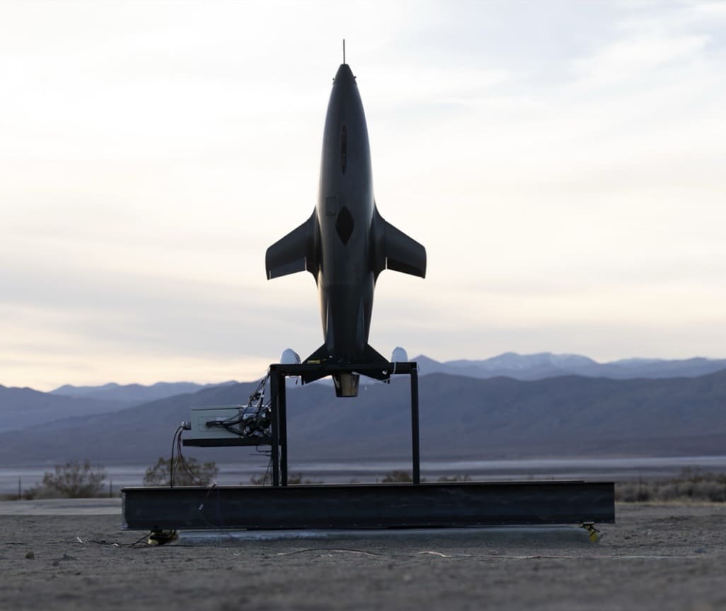
The final Artemis capabilities will be ground-launched, affordable one-way UAS platforms that operate at ranges from 50-300 km+, launch quickly and expeditiously, navigate at low altitudes, carry a variety of payloads, are rapidly updatable and upgradable, and functional in disrupted, disconnected, intermittent and low-bandwidth and Global Navigation Satellite System denied environments.