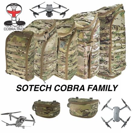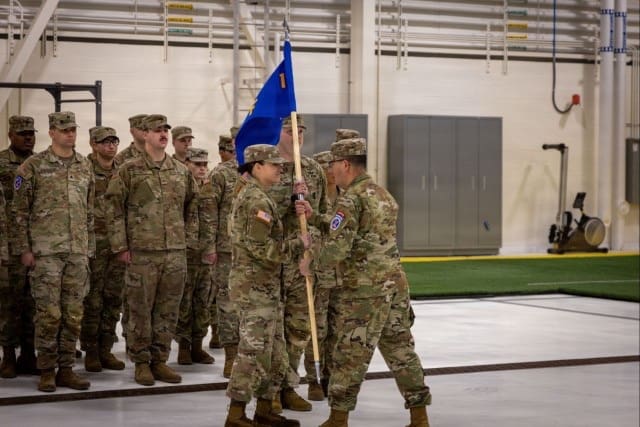
Rheinmetall successfully participated in a visionary test conducted by the Bundeswehr at the Army Combat Training Centre in Saxony-Anhalt, using its LUNA NG unmanned aerial vehicle (UAV) system. The test focused on the reconnaissance and operational network. From target detection to counter-measures, only unmanned systems were used, including drones and loitering munitions. Drone swarms are worldwide considered a novelty, and as yet an untested technology in terms of future combat methods of modern armed forces worldwide.
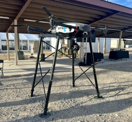
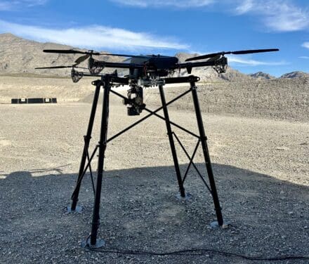
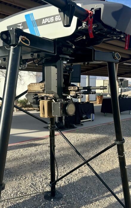
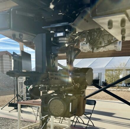
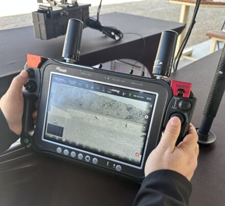
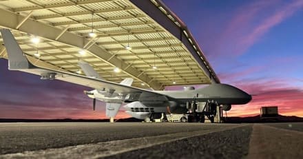
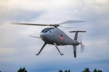
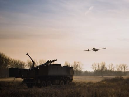
Within the Bundeswehr, the LUNA NG reconnaissance drone is known as the HUSAR (Highly Efficient Unmanned System for Medium-Range Reconnaissance) project. During the test period at the Combat Training Centre, Rheinmetall successfully integrated the system with the Bundeswehr’s Command & Control Unmanned Management System (C2-UMS Bw). This allows LUNA NG to operate within reconnaissance and operational networks alongside other drones or loitering munitions. Notable features of the system include a flight time of over 12 hours and a maximum altitude of 5,000 metres.
Overall, the test at the Combat Training Centre was characterised by a high level of digitalisation and networking. It showed that the interaction of reconnaissance and operational networks reduces the required time to detect, mark and counter-attack a target significantly.
During testing, LUNA NG reliably processed short-term assignments, showcasing its exceptional reconnaissance capabilities. The system also boasts great endurance and operates quietly at high altitudes.
The other participants connected to the C2-UMS Bw receive a status information of a large operational area, as well as high-resolution target information, via LUNA NG. Additionally, sensor information is available in real time, giving ground units a complete picture of the situation.