STORM 2 – C-UAS system for the dismounted soldier
At the turn of the century, remotely controlled IEDs littered routes and roadsides throughout Iraq and Afghanistan. These asymmetric and indiscriminate weapons exacted a devastating cost in human lives and, despite only costing hundreds of dollars to make, were capable of destroying military equipment worth millions.
The response to this threat was swift and decisive. The Joint IED Defeat Organization – stood up by US DOD in 2006 – had a singular mission: to defeat IEDs “as weapons of strategic influence.” Its approach spanned route clearance, persistent surveillance, forensic analysis of recovered devices to disrupt bomb-making networks, and the rapid procurement of blast-resistant MRAP vehicles.
Dismounted force protection methods and electronic countermeasures improved too, with manpack jammers creating protective RF bubbles around soldiers. These worked – but not without draining power, constraining movement and adding weight to already overburdened troops.
A new strategic reality needs a new standard for countermeasures
This tension between protection and performance defined the next phase of counter-IED systems. The requirement was no longer simply to jam more powerfully, but to protect more intelligently. Countermeasures had to become lighter, more efficient and more selective, reducing burden without impairing performance.
That requirement has only intensified. Twenty years on and today’s battlespace – denser, faster and more connected – demands something smarter and more discriminating in return.
“Dismounted soldiers increasingly face drone threats that are pervasive and persistent,” says Timothy Coley, Product Manager at Thales. “Whether it be a first-person view one-way attack drone or a munition-dropping drone, these threats keep heads on a perpetual swivel. The challenge is no longer just to shield a patrol from a single trigger – instead, countermeasures must be as agile and adaptive as the soldiers they protect.”
This new reality isn’t news to industry or militaries. Projects like Vanaheim, a British Army experimentation activity to understand the capability of relevant, reliable C-UAS solutions, come in response to the growing realisation of the threat and in anticipation of ever-shrinking countermeasure cycles.
The question now facing industry is whether the traditional rhythms of defence development – and the products they produce – can keep pace with a battlespace that waits for no one.
“When any hard-won advantage can be countered in a matter of weeks on the frontlines of Ukraine, the challenge for industry is to move faster – which includes adapting existing technology to address the very latest threats,” Timothy continues.
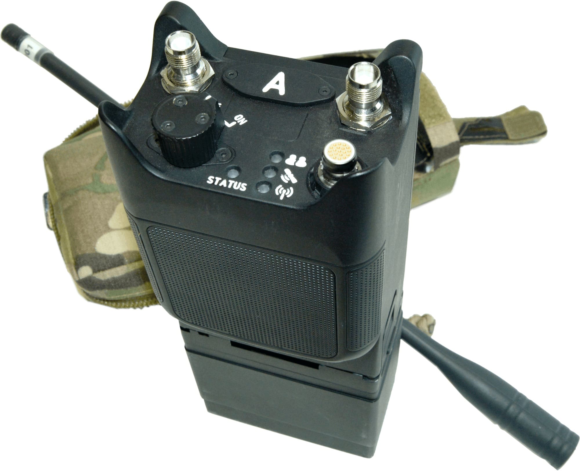
“We kept this tenet front-of-mind when we set out to rapidly develop STORM 2. Initially conceived as a counter-IED solution for dismounted soldiers, it has evolved to offer counter-UAS capability, allowing individual operators to disrupt RF?controlled drones. With a tenacious team of engineers, and a clarity of the operational need, we transformed the tech in a matter of weeks.”
Three key axes of countermeasure capability
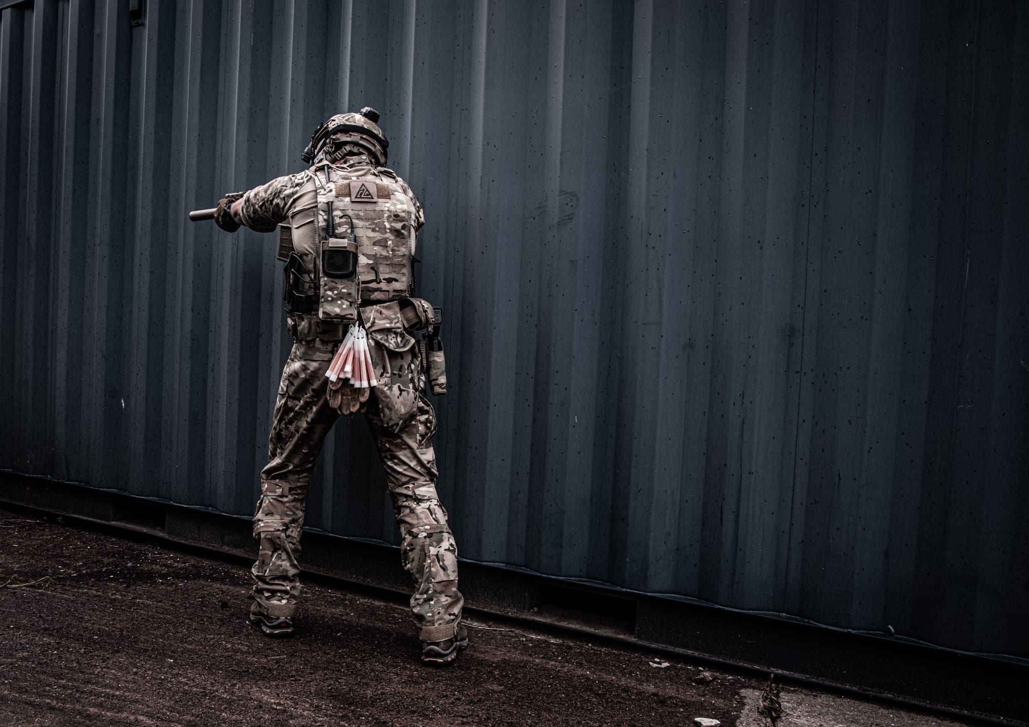
When it comes to countering fast-moving aerial threats, Individual Electronic Countermeasures (IECM) – like STORM 2 – introduce a distributed protective layer that addresses the limitations of traditional ECM capabilities (weight; conspicuity; manoeuvrability).
Such countermeasures are soldier-centric and, as such, typically defined by three key axes of capability to keep individual operators protected: reactive jamming, frequency range, and power output.
“Reactive jamming doesn’t have the same power consumption and signature as an active jammer that’s sending out RF signals constantly,” says Timothy. “It’ll spring to life only when it needs to, saving battery life while keeping soldiers inconspicuous until the critical moment when the threat manifests.”
The wider the frequency range a device can operate across, the harder it is for an adversary to hop out of reach – while the higher the power output, the greater the chance of overpowering and jamming their signal entirely. However, a higher power output drains the battery quicker and makes the jamming signal more likely to be detected. As such, a fine balance is required to ensure an optimal solution.
Each axis is powerful on its own, but any capability that combines all three must balance Size, Weight and Power (SWaP) requirements to give dismounted soldiers an advantage while saving space for bullets, water and other mission-critical equipment.
Operational advantage depends on technological advancement
Where today STORM 2 offers reactive jamming across a wide frequency range, its architecture means it can be updated to deliver new functionality, from spectrum analysis and tactical electronic sensing through to signal characterisation.
“You’ll be able to ask and answer questions like: Have I detected a drone video transmitter or a combat net radio? What type of combat net radio might that be? Am I able to determine whether it’s running a frequency hopping cycle?
“You can start to peel back layers of detail about the kind of things that it might be detecting. Such insights can be critical, with every scrap of RF data able to provide a battlefield advantage.”
Capability must move at the speed of the fight
Relevant globally, the UK MOD has defined the problem in its most recent SDR.
“Drones now kill more people than traditional artillery in the war in Ukraine, and whoever gets new technology into the hands of their Armed Forces the quickest will win.”
“Behind all of the strategies and against an ever-evolving backdrop of threats is an unerring need: dismounted soldiers need capability (and capability development) that moves at the pace of relevance,” Timothy says.
“On a technical level, we reconfigured STORM 2 to offer C-UAS alongside C-IED such that it could respond to this new strategic reality. But we’re not done delivering. Technologically, it’ll need to evolve again and again if it’s to continue being useful to those who depend on it – and technology like it – for their survival.”
“After all, protection is no longer just about surviving the fight,” Timothy adds “It’s about understanding it, shaping it and thriving within it.”
STORM 2
Thales will be exhibiting STORM 2 at Future Soldier 2026. Visit us to learn more about our dismounted soldier capabilities.