As modern battlefields rapidly evolve, the Army remains at the forefront of capability acceleration and innovation. Through exposure to realistic, emulated threat in the Western corridor, the Army’s All-domain Persistent Experiment (APEX) accelerates technical innovation and enhances Soldier lethality in the most threat-informed, live-sky environment available.
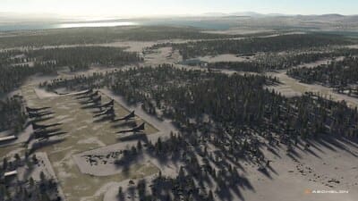
This fall, teams across the Army, Joint Force, industry, allied nations, and academia converged on White Sands Missile Range (WSMR), New Mexico, to assess, develop and reassess technology. The goal: outpace the threat.
“Today’s Warfighters must execute operations across the electromagnetic spectrum in the most contested Degraded, Denied, Intermittent, and Low-bandwidth (DDIL) environment the Army has ever seen,” said Maj. Gen. Patrick Gaydon, commander of the Army Test and Evaluation Command (ATEC). “We must be able to test, experiment, and train to fight in the same environment.”
“Integrating iterative testing, operationally realistic experimentation, Soldier feedback, and emerging technology assessments in support of the Campaign of Learning is vital to ensuring that learning is captured early and often to shape requirements, acquisition strategies, and fielding decisions. We currently have the capability to replicate the DDIL environment at several of our test and training ranges.”
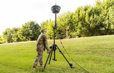
Opening the aperture across a broader swath of the electromagnetic spectrum, APEX provided the DDIL environment needed to test integrated systems that operate in various regions of the spectrum and truly understand their capabilities in a realistic environment. Utilizing the conditions at WSMR, the All-Domain Sensing Cross-Functional Team (ADS CFT) built upon six years of success from the experiment’s previous iterations as the Positioning, Navigation and Timing (PNT) Assessment Experiment (PNTAX).
“This is the most challenging experiment our organization has completed to date,” said Col. Pat Moffett, deputy director of the ADS CFT. “It was an opportunity to learn– bringing together those who are actively championing the Army’s priorities – and putting capability to the test in one of the harshest environments available. Persistent experimentation of this caliber is one way we maintain momentum and lethality.
This pivot generated valuable insights to help Army leaders knit together warfighting systems that support integrating broader future concepts. Together, participants conducted experiments that accelerate investment in the Army’s top priorities, including command and control, integrated fires, and all-arms maneuver.
Integrated, real-time C2

As the Army gains momentum with Next Generation Command and Control (NGC2) prototyping and experimentation, teams at APEX informed Army requirement development for one critical piece of the puzzle: sensor data.
In increasingly convoluted and denied information environments, access to the right data at the right time and the right classification is paramount. The Command, Control, Communications, Computers, Cyber, Intelligence, Surveillance and Reconnaissance (C5ISR) Center Dynamic project, designed to enable automated tipping and cross-cueing for accelerated kill chains, utilized a sensor framework to integrate Army, Joint Service, national, and coalition partner capabilities, enabling accelerated, automated effects.
To validate sensing system interoperability during APEX, the Dynamic project utilized the Joint Interface Control Document – Common Services (JICD CS) framework and Integrated Sensing Architecture (ISA) developed by the Capability Program Executive for Intelligence Electronic Warfare and Sensors’ (CPE IEW&S). These efforts successfully demonstrated the ability to integrate, process and disseminate multi-sensor data to the appropriate decision maker for action, while operating in a DDIL environment.
“The ability for ISA and our interface to JICD to be able to participate in APEX was invaluable,” said Christine Moulton, CPE IEW&S Strategic Integration Director for the Integration Directorate. “The data we collected at the time needed to integrate new sensors using the API provided great insight as we continue to improve the program.”
Live fires across domains
Commanders should not be limited in their effects on the battlefield. At APEX, experimentation efforts blended kinetic and nonkinetic effects, using mature situational awareness capabilities to speed the commander decision process.
Using Plexus, a system designed to arm commanders with informed decision-making abilities, the C5ISR Center and Joint Program Executive Office for Armaments and Ammunition (JPEO AA) validated situational awareness information, directing the best shooter for the best effect. This integrated, automated approach demonstrated the lethality of cross-domain fires and an enhanced understanding of the environment.
“The Plexus systems-of-systems approach demonstrates cohesive communication across mission command systems and improves the precision and reliability of artillery strikes,” said Kevin O’Hanlon, C5ISR Center PNT Chief.
The right combination of synchronized effects gives friendly forces the tactical advantage, ultimately enabling the commander’s operational plan. The test bed for kinetic and nonkinetic effects formulated by the environment at APEX enhances the effectiveness of cross-domain fires.
All-arms maneuver
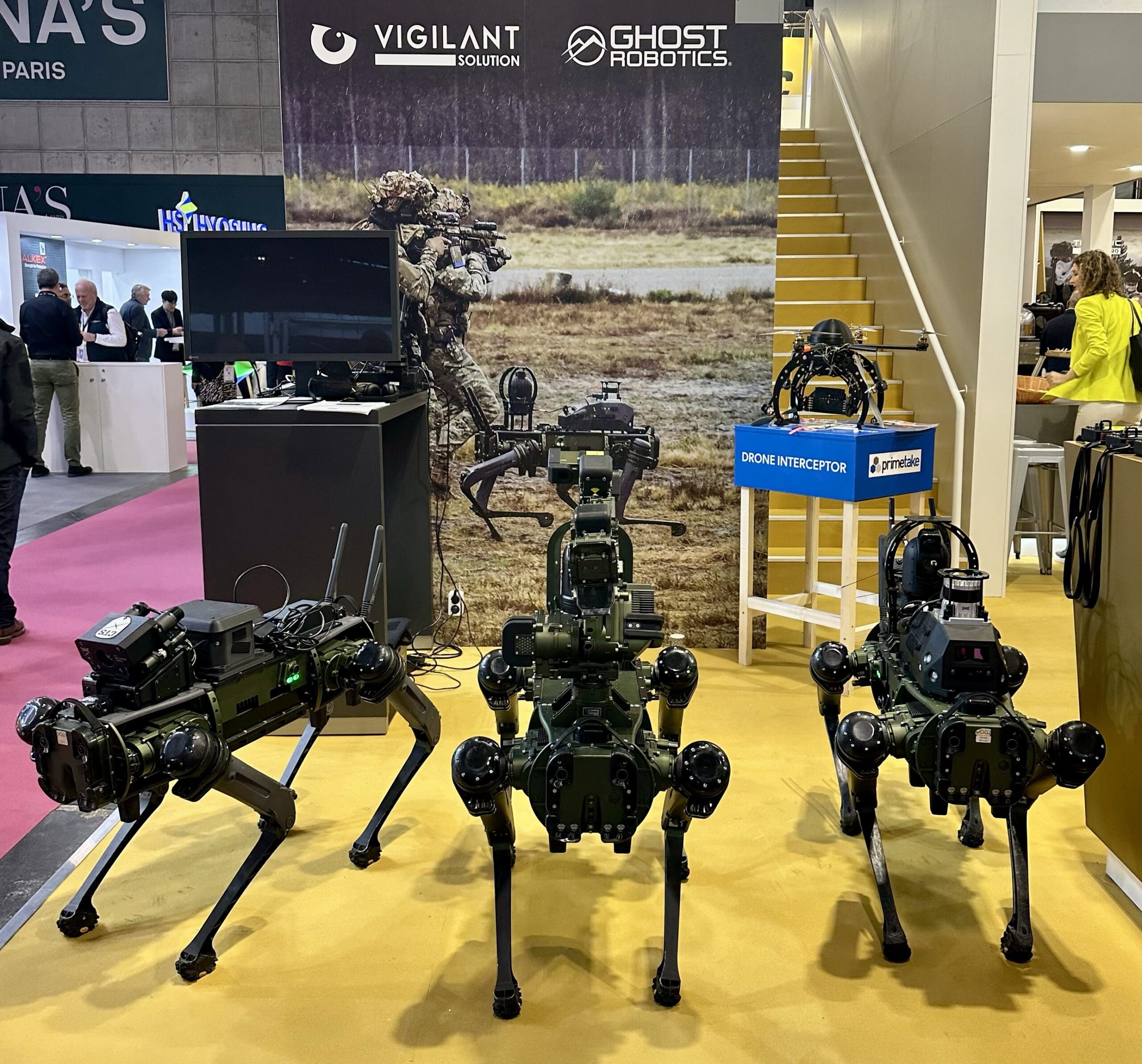
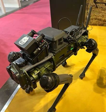
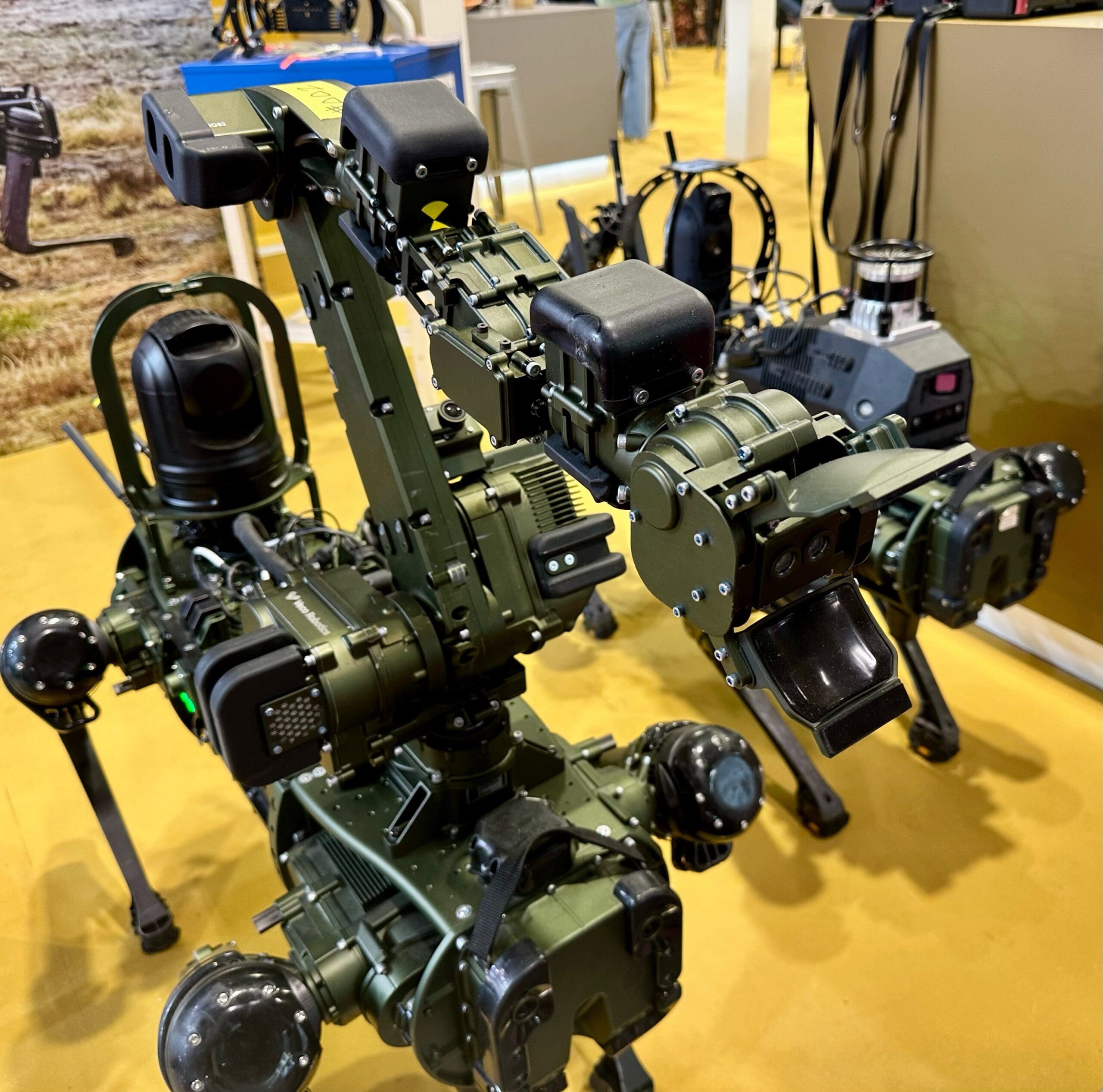
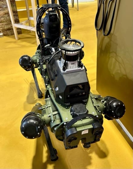
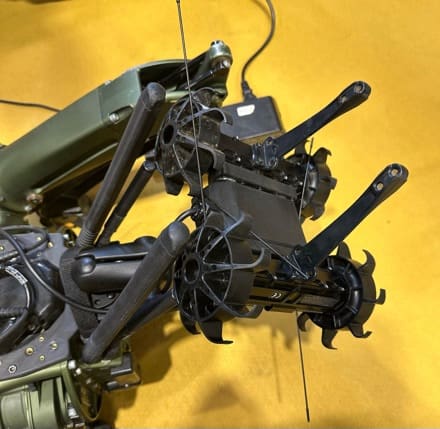
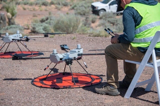
Additionally, APEX boasted multiple scenarios featuring Unmanned Aircraft Systems (UAS) and counter-UAS activities within a DDIL environment. These efforts are critical to validate platform operational relevance.
Given this experiment’s expansion to encompass more than navigation technologies, all-arms maneuver remains a critical part of the modern warfighting strategy. This year, the DDIL environment challenged ground and unmanned air platforms, ensuring the next generation of capabilities can operate through all electromagnetic conditions.
Way ahead
Persistent experimentation is critical to Army transformation, allowing for deliberate learning, training, and warfighting system interoperability. Coupled with Soldier feedback and training in realistic, threat informed operational environments, live-sky experiments are poised to advance broader transformation priorities through nested learning demands.
Experiments in denied, spectrum-degraded environments help the Army close the gap between today’s efforts and tomorrow’s warfare, evaluating capability readiness and adaptability.
The ADS CFT will transition into the Future Capability Directorate (FCD) construct under the Futures and Concepts Command (FCC) as the Transformation and Training Command (T2COM) gains full operational capability.
To maintain experimentation momentum, the next iteration of this experiment is called the DDIL Integrated Environment Supporting Experimentation and Learning, or DIESEL. It will align with the Army’s Concept-Focused Warfighting Experiments and support the command’s goal of turning war-fighting concepts into war-winning capabilities.
By Madeline Winkler